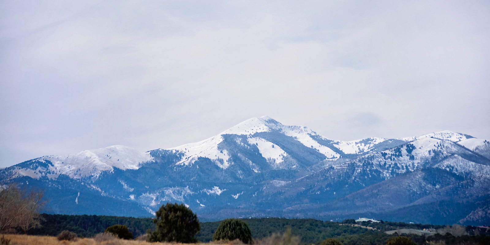


High Desert terrain – Pinon and Juniper
Location: North of Hwy. 380 between Capitan and White Oaks
These trails have little use and may be hard to find. Most of the roads to access these trails are dirt 2 track roads. Low clearance vehicles should use caution when attempting to enter this area.
Patos Mountain (70) - 4.9 miles one way
This trail intersects both Trails 73 and 75. It is rated moderate and changes elevation of 1,000 feet. This trail can be looped with TH 75 and 73.
Tucson Mountain (71) - 3.1 miles one way
The Tucson Mountain trail is 3.1 miles long. It is rated moderate and changes elevation of 1,000 feet. It begins at the junction of Forest Roads 84 and 1056 and traverses around Tucson Mt. Peak.
Carrizo Peak (72) - 2.3 miles one way
This trail will take you up 940 difficult feet in 2.3 miles to the Peak of the Carrizo Mountains. The trail begins at the end of FR 441.
Trail Canyon (73) - 4.3 miles one way
This trail intersects with Trails 75 and 70. It is rated at a moderate changing elevation of 1,590 feet. This trail can be looped with TH 75 and 70.
Jonnie Canyon (74) - 4.2 miles one way
Jonnie Canyon is located off of Trail 72. This trail changes elevation of 1,900 feet and is rated as a difficult hike.
Barber Spring (75) - 7.3 miles one way
This trail is located off of FR 139. It is easy trail that changes elevation of only 735 feet. This trail can be looped with 70 and 73.
San Wash (81) - 2.7 miles one way
This trail is hard to find and is also rated difficult. It changes elevation of 720 feet. The trail head is located off of FR 483. This trail is also approved for motorized use.
Warner Gulch (82) - 2.7 miles one way
Warner Gulch trail is another trail that doesn’t get much use. It is located off of FR 72. The elevation change is 100 feet.
 (1).jpg)