


By Johnny Hughes - Elite Outfitters
August 2015: Due to the Little Bear Fire there is damage on this trail and not currently maintained by the forest service.
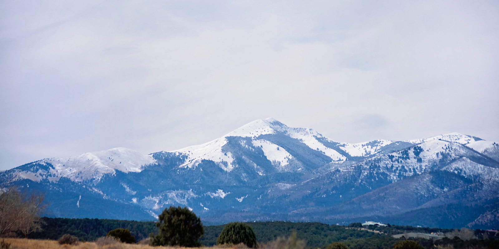
The Mills Trailhead access the eastern portion of the White Mountain Wilderness Area. Although this Trailhead is one of the easiest to access, it does not receive very high use. Most hikers drive on by as they head to Trailheads further into the Wilderness.
Mills Trail (#22) is the primary trail available from this Trailhead. Novices to advanced hikers can find hiking to meet their demand by how far they hike before turning around. No loop opportunities exist off this Trailhead, although a couple of hikes can be created using shuttle vehicles.
To reach the trailhead, take US Hwy 48 north out of Ruidoso approximately 10 miles to the junction with Highway 37. Turn left onto Highway 37 and go approximately 2 miles to the intersection with United States Forest Service Forest Road 107. Look for the sign pointing the way to Bonito Lake. Turn left onto Forest Road 107 and go approximately 1/2 mile to the trailhead located on the left (south) side of the road. A sign marks the location.
An important fact to note at this time is that the Mills trailhead is not located where it is shown on the Wilderness topo map. The trailhead is now located just across from the mouth of Philadelphia Canyon, approximately 1/2 mile west of the mouth of Mills Canyon. As a result, a short hike along the Rio Bonito is required just to get back to Mills Canyon.
The elevation of the Mills Trailhead is 7,080 feet
Mills Trail (#22)
Trail Distance - 5 miles
Net Elevation Change - 2,440 feet
Highest Elevation - 9,520 feet
Mills Trail (#22) terminates at Forest Road 107 ( Bonito Lake Road) at it’s lowest elevation and at Forest Road 117 ( Monjeau Peak Road) at it’s highest point.
Upon leaving the Mills Trailhead parking lot, take any of the numerous paths present down to the Rio Bonito and cross the stream. During wet periods, the water can be difficult to cross. Pick up Mills Trail (#22) which runs along the south bank of the Rio Bonito and proceed east.
After hiking along the stream for about 1/2 mile, the trail reaches a sign and forks. The Mills Trail follows the right fork toward the south and begins to veer away from the stream. Shortly thereafter, the trail will enter the mouth of Mills Canyon.
The Mills Trail gently climbs along the bottom of Mills Canyon for about 1/3 mile to Mills Spring which is not shown on the Wilderness topo map. A small pond approximately 7 feet wide by 15 feet long with a crude dirt dam is present below the main seep during wet seasons.
The intersection with Dry Mills Trail (#24) is reached three miles from the Trailhead The trail begins to change character at this point. No longer is it merely a stroll through the forest. Instead, the steepness of the trail begins to increase and the condition of the trail unfortunately deteriorates. Novice hikers will find this location to be an ideal turning-around point.
Upon reaching the divide at the head of Mills Canyon, Mills Trail (#22) skirts the upper portions of Schoolhouse and Spring Canyons. Upper Schoolhouse Canyon is a classic alpine scene with lush meadows, aspen groves and conifers.
At the head of Spring Canyon, the trail passes next to Fox Spring. Some "improvements" consisting of some crude piping and a stock trough are present at the spring. The spring is usually dry.
The path proceeds a couple of hundred yards past Fox Spring onto the ridge between Spring and Bear Canyons. Monjeau Lookout lies only 1/2 mile away at this point. The problem is the 750 vertical feet that still remain. Unless you really want to climb the remainder of the distance just to see a view that you can easily drive to, this location might make a more logical turnaround point. Turning around at the ridge would reduce the net elevation gain of the hike to around 1,800 feet. However, if you've never been to the lookout and still have the energy, the view from the top is nothing short of spectacular. Retrace the route to the trailhead to complete the hike or leave a shuttle vehicle at Monjeau Lookout.
Camping locations are abundant along much of the route. The lower Mills Canyon area has the best locations due to the presence of water and some horizontal turf. Amazingly enough, where the trail emerges onto the ridge between Bear and Spring Canyons, an excellent campsite is present. A rare flat place in an otherwise sea of vertical terrain can accommodate a fairly large group.
Water is an issue for campers along the Mills Trail. Depending on the season, water is found sporadically from Mills Spring to upper Schoolhouse Canyon. Don’t rely on water here except during the wet seasons.
Dry Mills Trail (#24)
Trail Distance - 1 mile
Net Elevation Change - 640 feet
Highest Elevation - 8,040 feet
Dry Mills Trail (#24) terminates on it’s low end at Mills Trail (#22) and at Forest Road 117 ( Monjeau Peak Road) on it’s upper end.
The Dry Mills Trail follows along the bottom of a tributary drainage of Mills Canyon the entire length of the hike. This hike does not really offer breathtaking views of the wilderness from any point but it does offer exquisite forest scenery and a chance encounter with elk or deer.
The lowermost reaches of the trail follow a gentle grade, but the uppermost section of trail is steeper. Once the trail tops out along a ridge, it extends about ¼ mile down to the Monjeau Peak Road.
Camping is available at the intersection of Mills and Dry Mills Trails. Water is usually present in small amounts in Mills Canyon, although the water is seasonal.
 (1).jpg)