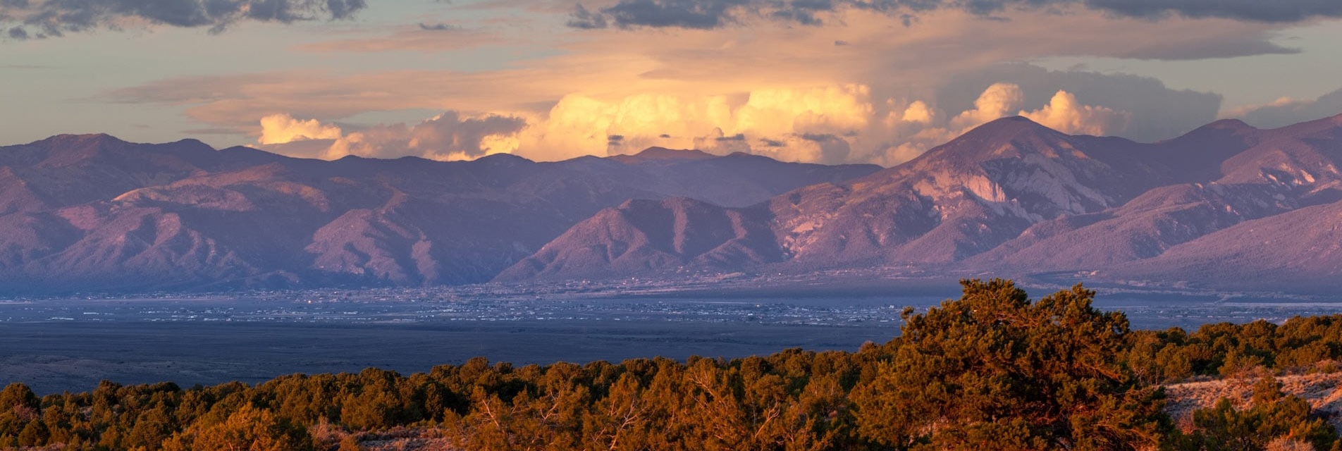
The White Mountain Wilderness Area is situated on the erosional remnants of an ancient, composite volcano that probably once resembled Mount Ranier in Washington state.
This ancient volcano is approximately 25 to 40 million years old. During this time period, an oceanic plate was subducting under California creating a volcanic mountain chain that extended from Colorado, through New Mexico and west Texas, and into northern Mexico. The volcanic mountain chain was very similar in composition and geologic setting to the current Cascade Mountain range in the Pacific northwest. Only further inland.
About 25 million years ago, the plate boundary changed. The plates began sliding past one another rather than one going under the other. The famous San Andreas Fault was born. This birth was the death of the subduction mechanism that created the volcanic chain in New Mexico. As a result, volcanism ceased around 25 million years ago and erosion has been the dominant geological force ever since.
The large, composite volcano has seen the upper half of its cone beveled by erosion over the last 25 million years. The lower half of the volcano is now exposed in the canyons of the White Mountain Wilderness.
Over 3,000 vertical feet of lava and ash flows from the ancient volcano are still exposed in the northern part of the Wilderness near Nogal Peak. These flows are collectively called the Walker Andesite.
The southern part of the Wilderness, is dominated by igneous rocks that cooled beneath the earth’s surface. These rocks most likely represent the magma chambers of the ancient volcano. The "magma-chamber” rocks are more resistant to erosion than the lava and ash flows that made up the bulk of the volcano. As a result, the magma-chamber rocks now form the highest elevation portions of the range, as the softer lava flows have been slowly stripped away over millions of years. As you look at Sierra Blanca today, realize those rocks were once deep within the core of the ancient volcano. Erosion has removed the upper half of the volcano to expose the "plumbing” underneath.
The ancient magma chambers are classified as "stocks” today. Three separate stocks are exposed within the White Mountain Wilderness. The largest is the Three Rivers Stock, which is exposed along the extreme southern boundary of the Wilderness. Prominent outcrops of this stock can be seen near Sierra Blanca, Three Rivers Canyon, and the upper South Fork Rio Bonito Canyon. A second stock, called the Bonito Lake Stock, is exposed in the vicinity of Monjeau Peak. A third stock, the Rialto Stock, is poorly exposed in the Tanbark Canyon area. Mineral differences in the stocks suggest they were separate magma chambers.
Mining exploration was initiated in the volcanic complex around 1865. Placer (gravel) mining led to the first known lode mines in 1868. The Helen Rae and American Mines, near Nogal, were two of the first, and most prolific, mines in the area. The region heavily prospected from 1870 to the turn of the century. Some mines produced small amounts of gold and silver until the 1930’s. Most mining activities had diminished by that time, primarily because gold production was scarce at best. Signs of historic mining activities are prolific in many areas of the Wilderness.
Most of the mineral deposits were associated with veins that were created by groundwater that was heated by the volcanism. As the water was heated, it was able to dissolve metals into the water. As the heated water percolated along cracks and fractures in the surrounding rocks, the water-cooled, and minerals were precipitated along the fractures. In this manner, metals were concentrated in the veins and subsequently were the targets of early miners.


